
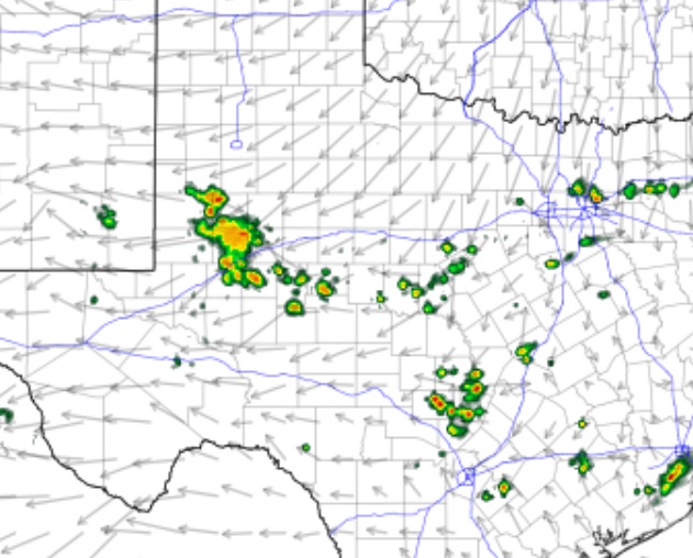
A weak cold front was draped across the northern Texas Panhandle and northern Oklahoma before sunrise Sunday morning. According to KOXE Meteorologist Randy Turner, the front is forecast to move into the KOXE listening area Sunday afternoon and evening which could set off a few showers and thunderstorms. As of Sunday morning, forecast models were showing development of scattered showers and storms between 2:00 pm and 7:00 pm Sunday. Temperatures are forecast to reach the low to mid 90’s again Sunday but be in the low to mid 60’s by Monday morning. Highs Monday should be in the upper 80’s. Temperatures may dip into the upper 50’s by Tuesday morning.
In the Photo: Shown on the weather map is a depiction of the scattered nature of showers possible along a weak cold front Sunday afternoon and evening. Temperatures are forecast to climb into the 90’s before the front arrives.